|
Penang Hills and Trails - Pantai Acheh Explorer 2, 2020 |
|||||||||||||||||||||||||||||||
|
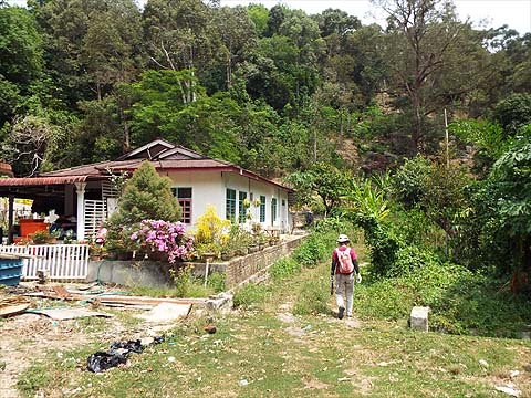
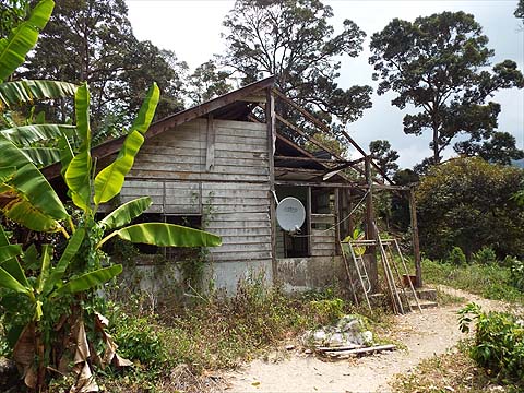
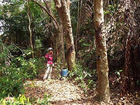
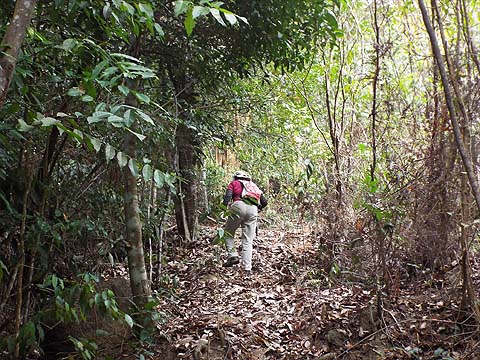
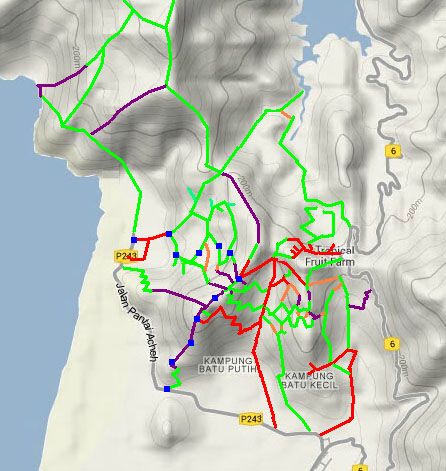
This is part of a series of pages on walking the hills of Penang. Click here for the index. This is a Grade 4 walk. There is a sketch map at the bottom showing the route followed. Please visit my Penang buses page for information on accessing the starting point, but to be honest the timings do not work well! A week earlier, we had climbed the small hill (260 metres / 880 ft) rising behind Pantai Acheh village from the west side. Today's hike was a complementary affair, designed to go up it on the ridge from the south side. Like the previous time we expected it to involve overgrown old rubber and take about three hours. We were not disappointed. A glance at the map will show that the start and end point are separated by at least 2 km and we got round that problem by parking in Pantai Acheh and catching the 12.00 404 bus back towards Sungai Pinang. There was no one on the bus save the driver when it arrived and we were the only two passengers heading out. We got ourselves dropped by this small track which I had identified as the most likely way into the durian orchard above. The roadside houses in this area seem to be exclusively Malay now and the Chinese house serving the orchard lies abandoned, any rubber roller left here would have long been 'recycled'.
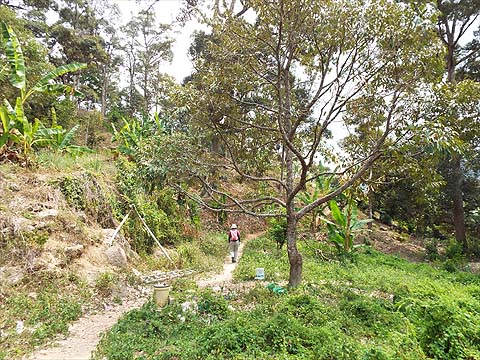
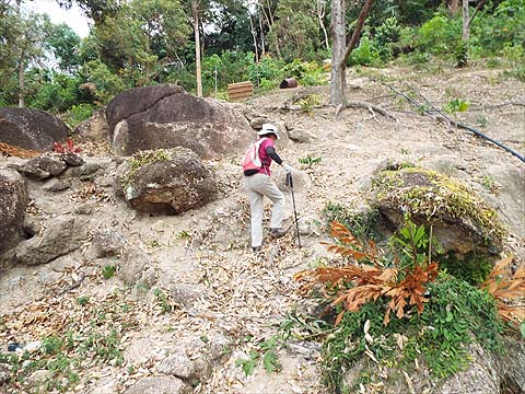
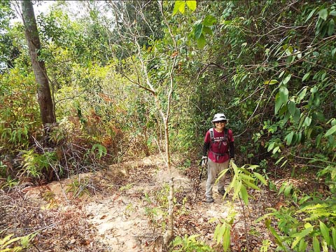
We set off on the standard concrete path climbing with the aid of the usual zig-zags. We didn't expect much in the way of views and it didn't matter too much that it was overcast.
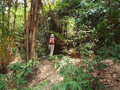
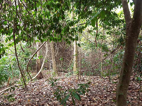
The path ended before the top and as we climbed up we could see a rubber terrace, it was not a problem to push through the vegetation to reach it.
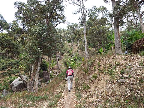
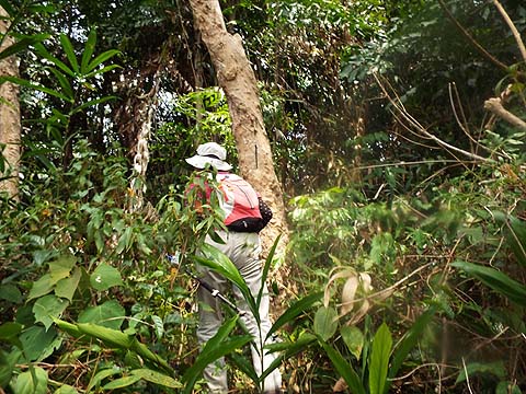
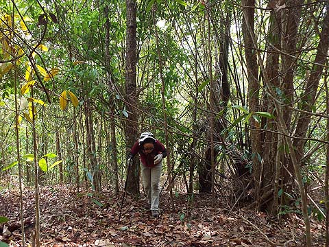
We turned left for the ridge and found more old rubber. The climb here was gentle so we followed a couple of terraces moving up where it was convenient.
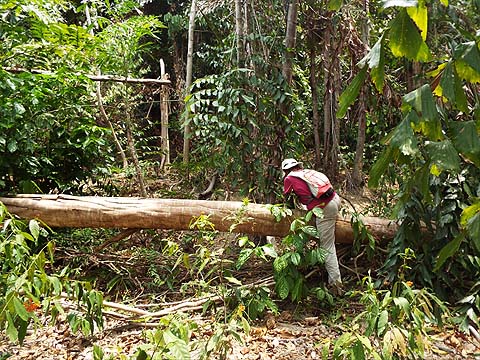
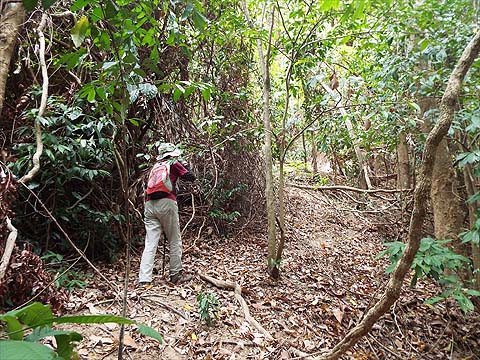
We had a minor dip to negotiate and then as the main climb started, we found that this ridge was much more exposed to the occasional storm than the western one.
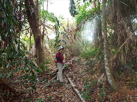
We clambered over the first tree but then started to look on either side and found that some parts were completely clear.
The ridge was surprisingly wide and that meant we could easily bypass most of the obstructions.
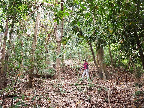
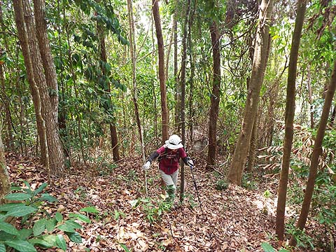
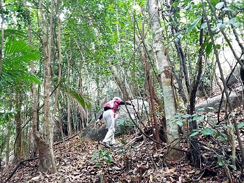
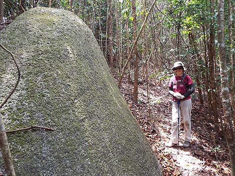
The upper area was rapidly reverting to natural forest and that meant much easier progress. None of the boulders was any great size and all were easily skirted.
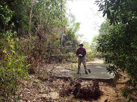
Another short climb and Yuehong exclaimed 'Wow'. Actually, we knew all about this road as we had come up it 4 years earlier and I, at least, expected to come past this point as I knew it finished at the ridge we had come up. Of course, why it was built in the first place is another matter.
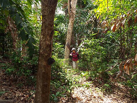
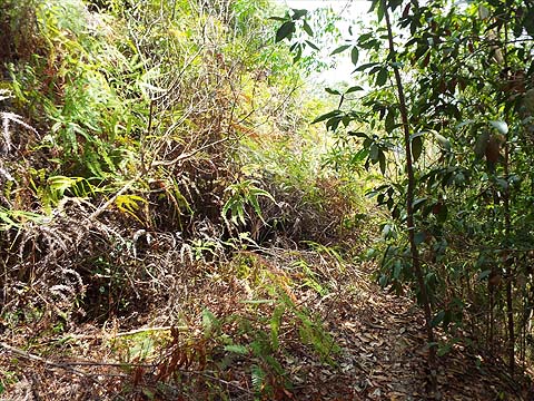
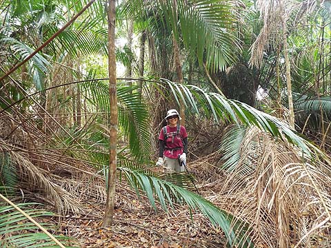
3 months ago we had looked at the ferns from the other end and decided trying to get through would be inadvisable. With no rain since and now being rather fitter, I took 5 minutes out to check things properly. In fact, the ferns held no terrors and it was quite easy to reach the orchard area beyond.
I returned to the end of the road and we we continued upwards. In some areas, the orchard that was never completed was quite clear, in others we went back into the undergrowth.
When we got to the 'prickles' we knew we were in the summit area but there are no real landmarks there. Only when we started the short descent beyond were we reminded of our previous visit. .
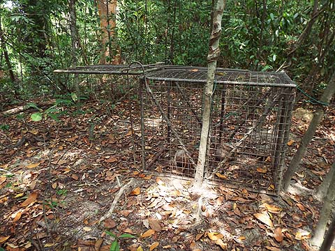
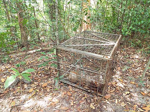
Soon we were at the Wild Boar trap and I was surprised and disappointed to find it had been reset. With the current extended dry spell all the wallows passed were rock hard and I had assumed the boar had all moved to lower areas where there might still be some water. I slipped the catch and set the trap on its side in the probably vain hope that this might worry the miscreants involved, I certainly didn't have the tools to do anything more, it's a very sturdy 'beast'.
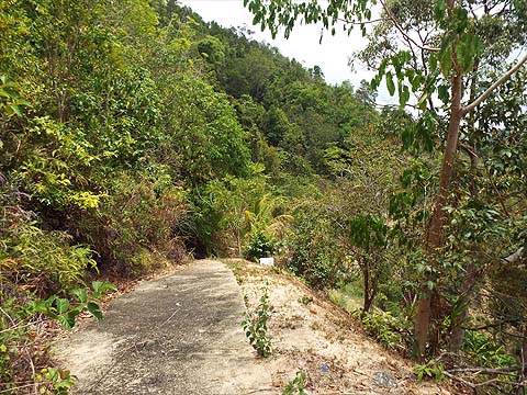
I put the camera away and make no apologies for recycling the two pictures and the account that follows from our report of a week earlier. We were now on a path and emerged as expected into a developing orchard. Being on the ridge, there's not enough water so it's not much to look at. Ahead was the 'white house' and its access road which offered a way down towards the Sungai Pinang to Pantai Acheh Road. That was not an attractive proposition for us and instead we found our way back down along our regular route. I've not described it here, but it's not changed a great deal since my original report from 2016
I doubt that any Penang hikers have done either of these two ascents before, my immediate circle certainly hasn't and neither are there any reports on the web. That's not surprising, we did them for a small degree of novelty value and I doubt we shall do either again. For us Penang hiking is both a physical and mental challenge.
|