|
Penang Hills and Trails - Two Waterfalls
(Alternative Route) |
|||||||||||||||
|
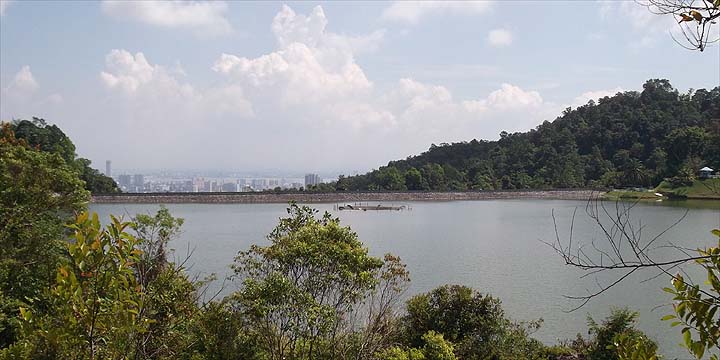
This is one of a series of pages on walking the hills of Penang, click here for the index. This is a Grade 3 walk, based mainly on length. We haven't actually yet done the descent in this direction, but the pictures and description were compiled from ascending it - see the the Titi Kerawang Loop report for more pictures and information about that aspect. There is a sketch map at the bottom showing the route followed. Please visit my Penang buses page for information on accessing the starting point. Although this description starts from the Air Itam Dam, most likely you will actually start from Air Itam (502, 201, 203 or 204 bus, the 502 being by far the best option as it is the most direct service). How to get up to the dam is covered in several other walks, in particular The Road to Nowhere and The Two Waterfalls which also cover the initial climb from the dam which is, however, repeated here. Cross the dam and walk along the road which runs on the west side of the water:
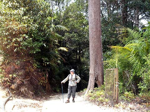
When you come to the gate across the road, turn right and follow the concrete road upwards, you'll see the Chinese sign again!
It's a stiff climb on an a generally good road, there are signs of environmental damage but the adjacent stream looks to be clean . At the col, there is a 5 way junction, this pictures show only the two wider trails ahead. That on the left leads to Bukit Elvira (The Road to Nowhere and The Pretty Way) that on the right both routes to the Titi Kerawang (see the original Two Waterfalls report for more information). Out of sight to the left is a forest trail to the col on the Air Itam to Balik Pulau road and similarly on the right is a forest trail to the Tiger Hill valley.
Although, I had read about this trail on the web (
It will take a while to reach the summit of that path but the climb is gentle. At that point is a junction, the road to the left goes down but probably not all the way to Sungai Rusa, it's one for the future. Instead bear right as the lady shows and maintain height. There's a nice view out to the left and continue onward when you leave the bananas down the road shown.
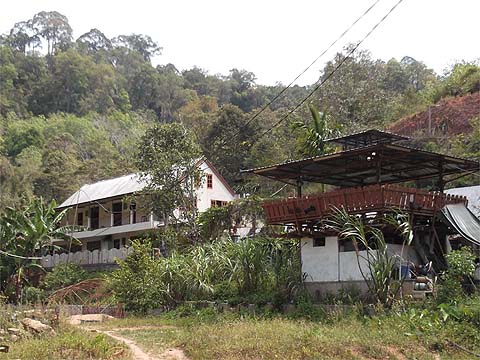
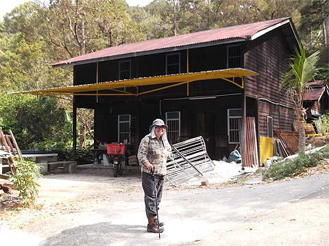
After entering the rubber the road curves around and passes this distinctive house. After this point, it's just a question of following the trail downwards, it would be difficult, we think to go wrong. I've included a few distinctive views to encourage you!
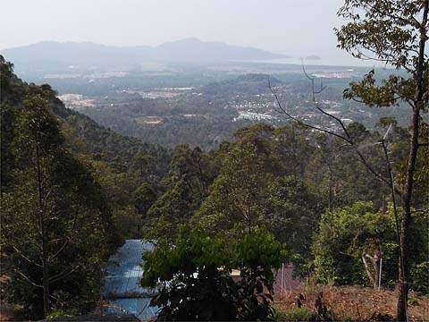
Eventually, with no doubt your knees shaking a bit you will start to see Kuala Sungai Pinang below.
And in due course you will emerge on the round-the-island road some way below Titi Kerawang. If you don't fancy going back the way you've come then you'll need to know when and in which direction the next 501 bus will come. The stall holders at Titi Kerawang will happily tell you, especially if you buy some fruit from them.
|