|
Penang Hills and Trails - Sungai Batu |
|||||||||||||||||||||||
|
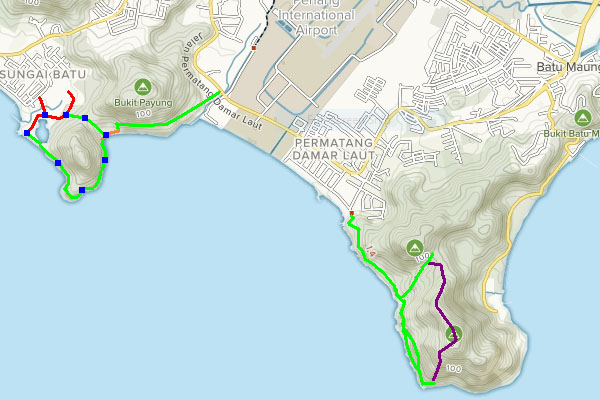
This is part of a series of pages on walking the hills of Penang. Click here for the index. This is a Grade 2 walk. There is a sketch map at the bottom showing the route followed. Please visit my Penang buses page for information on accessing the starting point, you would need to take a bus (401, 401E, 308) to the traffic lights by the Sungai Batu schools between Bayan Lepas and Teluk Kumbar and walk to the starting point, it would take around 10 minutes. Show this picture to the average weekend hiker in Penang and ask them where it is, then chances are that they will tell you that they have no idea:
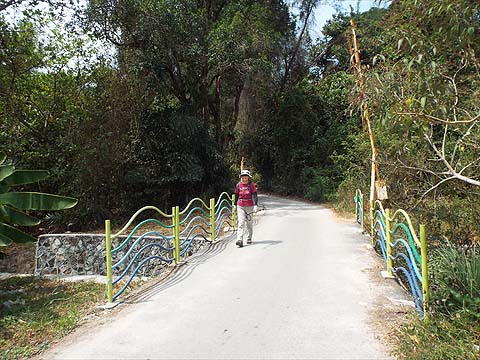
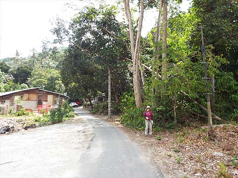
Yes, and I would have struggled too until I spent an afternoon in the area when I got frustrated trying to find some more rubber rollers. It's known as Pantai Teluk Bayu and is at the south end of Sungai Batu, a largely Malay community between Bayan Lepas and Teluk Kumbar. The beach itself is kept clean (there was a Gotong Royong tidy up on 1st February 2020) but the area behind it reflects the habits of the large numbers who throng it at weekends, it's a waste plastic disaster. I knew Yuehong would appreciate the area and I brought her here today needing something 'easy' after a disaster in the National Park. Jalan Sungai Batu runs south from the traffic lights by the cluster of schools and bears right after some 300 metres. There is soon a gravel road on the left with a banner for Pak Tam's Mee Udang, we took this and after 200 metres there is a further junction to the right which leads some 300 metres down to the beach where there is plenty of parking space (at least during the week). If you have come on the bus then you won't have to visit the beach at this stage as we walked back to the last junction and turned right - in other words straight on coming from Jalan Sungai Batu. This road soon curves to the left and there is just one path on the right into the hills and we took it.
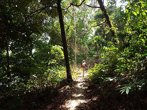
It climbs gently and very soon we found ourselves at a col with a path down ahead and another to the right which we tried.
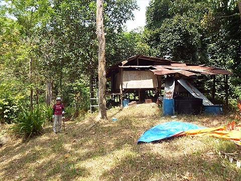
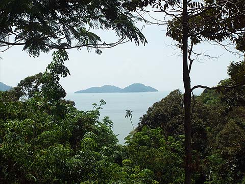
This very quickly led to a durian orchard hut and a nice view of Pulau Rimau, but nothing else.
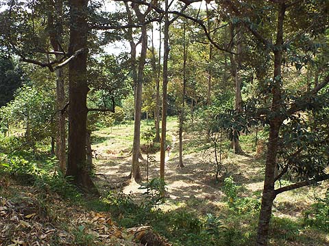
It's a small but attractive orchard and it slopes gently downwards.
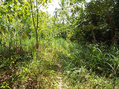
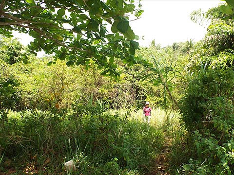
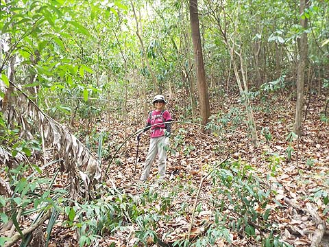
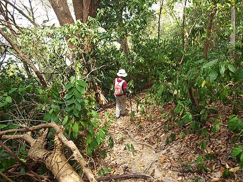
We then had to follow the path through what I would call lalang to the sea.
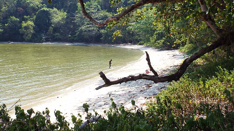
On my survey a few days earlier, I had found an old lady going through the sand looking for shell fish, the tide was out. This bay is called Teluk Pak Bidan on older maps. I had followed a wide path from here to the Caltex petrol station on the edge of Kampung Binjai at the bottom of the airport (and back) but it is not particularly attractive. So, instead we walked down the narrow beach (it was high tide) and when we came to the end, Yuehong said, as I had, "That looks like a path."
Even it is not but it's undemanding and it has the seal of approval of some serious hikers.
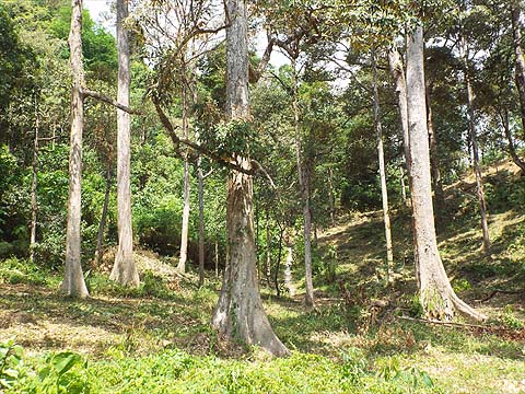
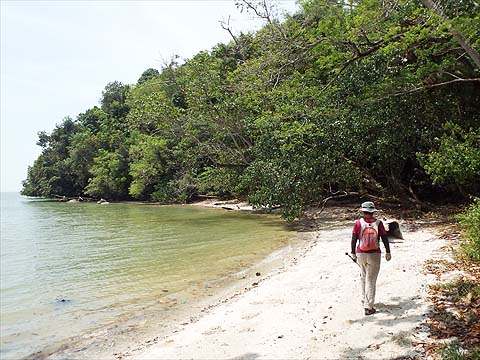
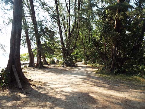
This corner of the island (Tanjung Chut) has some fine old abandoned rubber trees and it seems the Hash had been here not so long ago. The hill behind is about 120 metres high, it looked to be clear enough to climb from this side but hardly worth the effort.
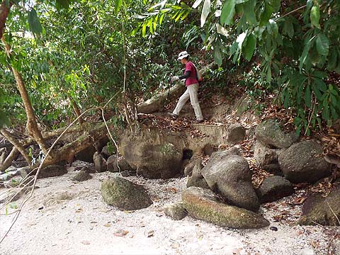
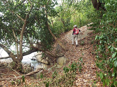
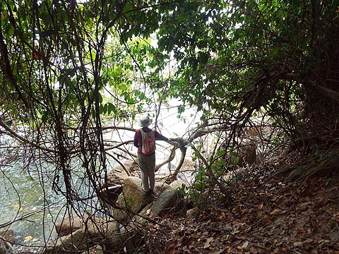
We got to a point where the path disappeared, to me it looked like a landslide. Yuehong rather fancied going round on the rocks, but eventually agreed there was a perfectly acceptable diversion slightly uphill instead. On my survey, I had gone too high but I knew now that the path continued on the other side.
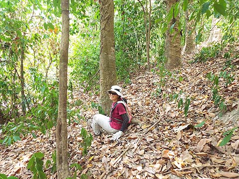
That meant a bit of a downhill and, oh dear, dry leaves can be slippery... She bounced and got up and strode on ahead.
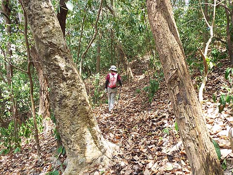
The rest of the walk was unexceptional, there are side paths down to the sea used by fishermen and that keeps the main path in good condition. Very soon we were back at our starting point, we had been gone less than two hours.
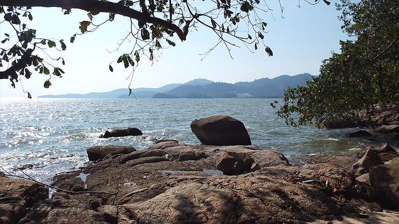
Here are a couple of pictures I took on the earlier visit when the light was better. Firstly looking west towards Gertak Sanggul.
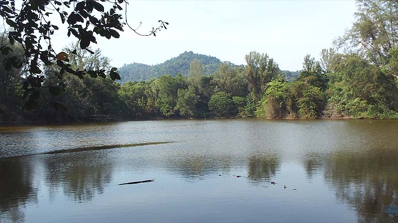
This is the man made lake behind the beach, it didn't exist in 1960 and possibly it was created by removing sand for construction. Behind are the hills leading to Bukit Papan.
Unlike most of our hikes this is 'family friendly' and ideal for introducing youngsters to the joys of Penang hiking. |