|
Penang Hills and Trails - University Challenge |
|||||||||||||||||||||||||||||||||||
|
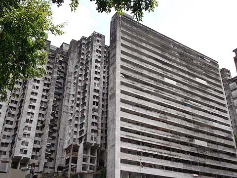
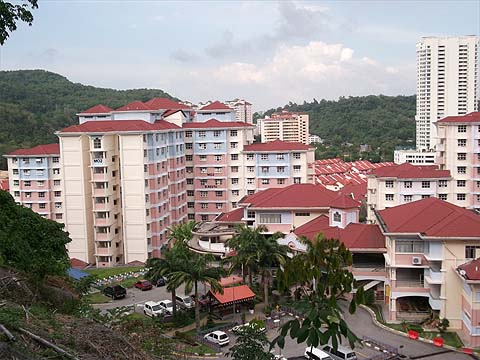
This is part of a series of pages on walking the hills of Penang. Click here for the index. This is a Grade 2 walk. Please visit my Penang buses page for information on accessing the starting point. There are a number of reports on the web of hikes and bike rides across the range of hills which runs north south between Paya Terubong and the east coast of the island. I believe the major summits from the north end are Bukit Relau, Bukit Kukus and Bukit Jambul. Our walk the previous day had not been my finest bout of exploring, I promised Yuehong a gentle walk as she was a bit under the weather and instead we ended up climbing Bukit Relau by a direct assault following an old hash trail. It was time to make amends, especially as I had a really meaty hike down south planned for the following day. We started from Paya Terubong where the buses (502, 201, 202) do a loop in the flats - get off at the last bus stop in Tingkat Paya Terubong 2 before it goes back down the hill. Walk up Tingkat Paya Terubong 1 into Lorong Bukit Kukus which becomes Jalan Bukit Kukus. Admire the well maintained flats and Bukit Kukus above. Some of the flats will have a fair view across the old Lee Rubber Factory to Air Itam and Penang Hill.
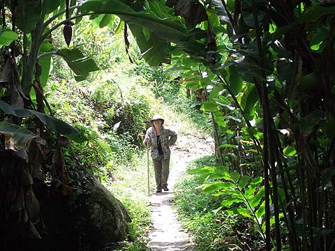
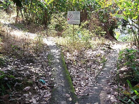
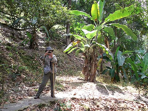
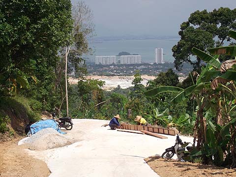
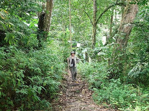
Continue into the open area which looks like an unused car park when the road swings left and look for the path shown in the pictures below. The trail starts with 3 fairly stiff zig-zags but the fourth is less steep.
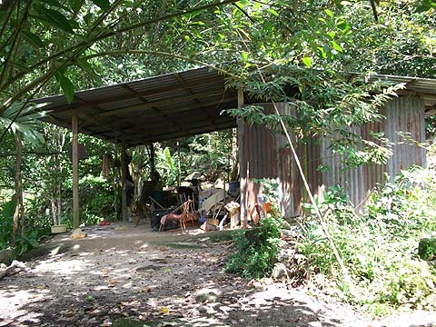
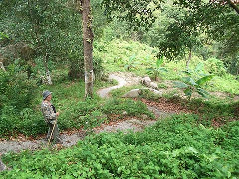
As the climb eases, there are a number of branches. The first left fork leads to a hut, the second minor left we didn't follow and the third fork has a sign that is an unintended indication as to which way (left) one should go! And in a clear two fingered gesture, the hash which uses the red and white plastic has tied some on a nearby tree to confirm it.
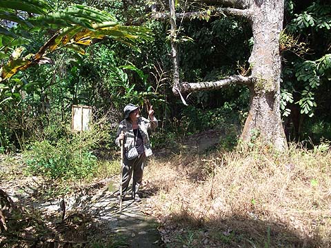
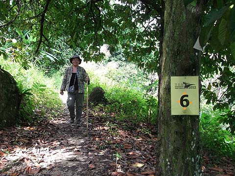
It was far more to Yuehong's taste than the previous day's near vertical ascent, one measure of how much she is enjoying the walk is the appearance of her own toy camera.
In almost no time (actually one hour), we were at the col, obviously not much more than half the height of the previous day's summit. There were insignificant paths all around into the fruit and just one on the right that looked 'serious', but this quickly came to a junction where the right fork ended in fruit and the left led down to a couple of houses.
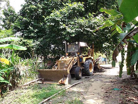
Our enjoyment of the hike came to a temporary halt when we rounded a bend and found a couple of parked up earth movers, shortly after we came to a T junction on an almost brand new concrete road. Both sides seemed to descend, I chose the right one past the house shown as I was sure the left would end up where we had been the previous day above Jalan Bukit Gambir, in which case the walk would have had to be called 'Bukit Gambir Quickie' on account it would have taken under two hours in all. In fact, this road also branched almost immediately and it appeared that the left fork would soon join up with the other road.
There were a couple of (Malaysian) road makers here and they suggested that the right fork would lead to USM which sounded an excellent suggestion and not least because it was my former employer. This meant taking the small trail next to the road which soon finished anyway at a house.
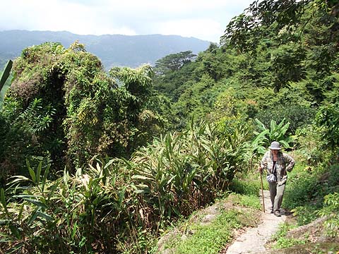
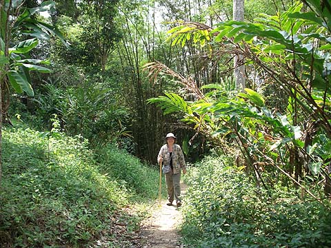
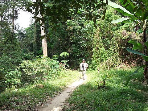
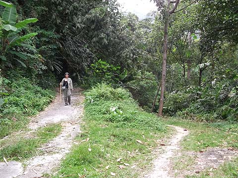
This path was a real gem, a Penang rarity in that it more or less followed a contour for the best part of half an hour's very pleasant walking through a mixture of rubber and fruit trees. There was just one house and even here the dogs just yapped and watched us walk past.
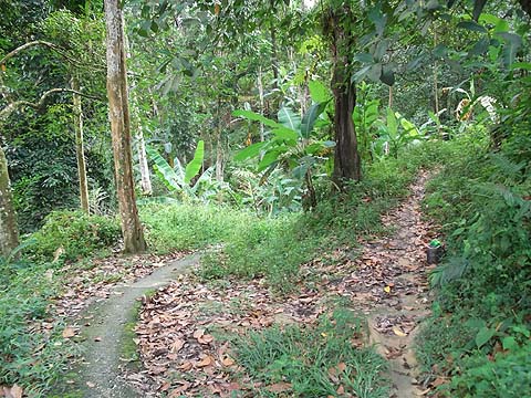
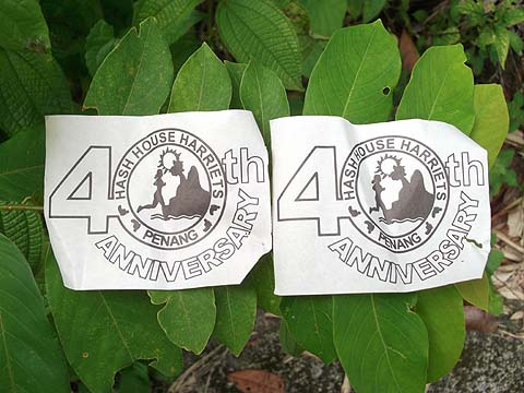
We safely ignored two smaller paths on either side and found ourselves following hash paper yet again, on this occasion it was marked for the Penang Hash House Harriets 40th Anniversary Run. It was mixed with the PH3 (Monday) paper, my guess is that they had helped out on the survey and had then used the route soon after for their own run.
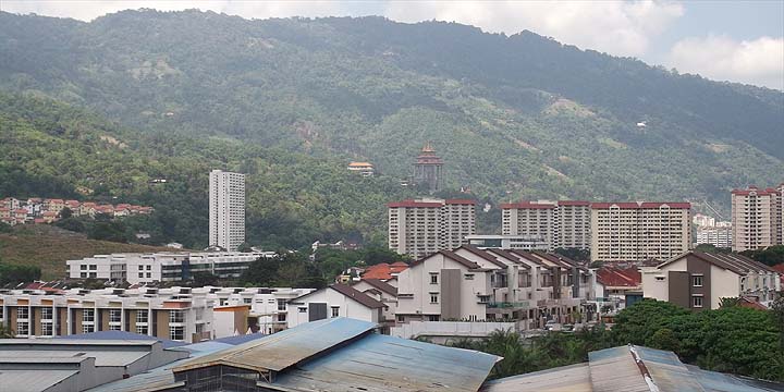
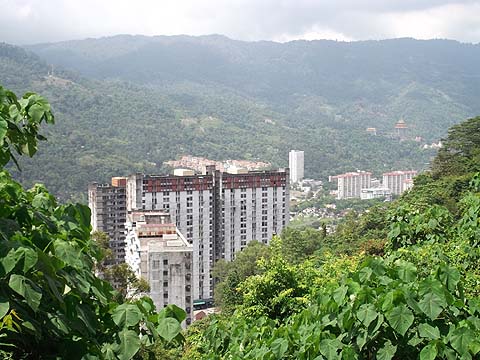
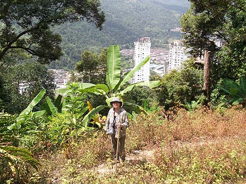
There were more than a few glimpses down to the east side of the island, which frankly is not a pretty sight (or site) these days Slap bang in the middle of this picture are the best (=oldest) of USM's buildings which I could easily recognise from 40 years back although the bridge and none of the tower blocks existed then.
I was not surprised to find this was mountain bike territory, the notice was for a USM event in late 2012. All too soon, it was time to go down and being a 'mature' path it was not too steep at all.
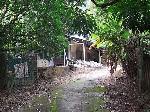
We joined a larger path which I suspect did not go far. The few houses in this area had been abandoned, their garden plants often thriving despite being neglected.
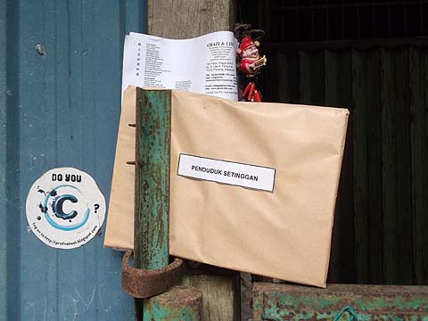
The reason for this seemed to be related to these legal notices addressed to 'The Occupier' which appear to be notices to quit. No doubt having tolerated squatters for many years, the owners had decided to assert their rights as the land is ripe for development.
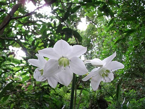
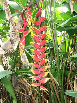
There was another fine set of flowers (heliconia pendula), before we passed the last junction:
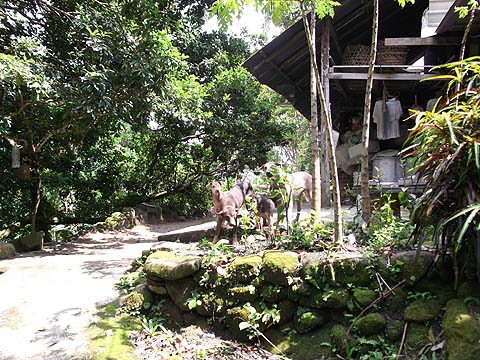
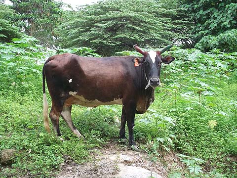
The trail passed behind what turned out to be USM halls of residence and nearby was an anything but wild animal enjoying some grass.
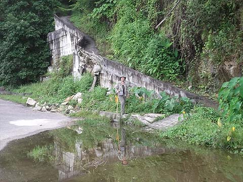
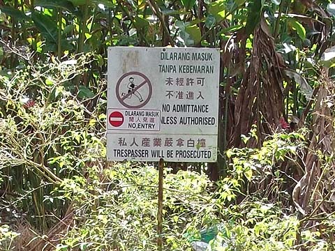
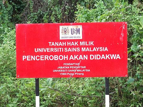
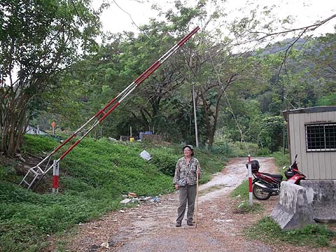
There was a formidable notice proclaiming USM's ownership of the land. Since Malaysian law is firmly based on British traditions, the 'Trespassers will be Prosecuted' bit is complete nonsense, their only recourse to unwelcome occupiers would be through the civil courts. We finally emerged through this barrier just off Jalan Bukit Gambir.
It was back to the 'mad house', the rat race that is most of urban Penang these days. We walked towards George Town to the first bus stop, where, after a considerable wait we caught the 302 bus to town and then, for a change, a 104 to dinner, it being, as usual, less crowded than the 101 in front of it. This is a cracker of a walk, it comes highly recommended, try it out soon before the developers spoil large parts of it. If it suits you, this is easily done in the opposite direction. Take a 302 bus and get down where it stops next to a pedestrian overbridge between the USM campus and halls of residence. Cross the road and carry on through the traffic lights. The road with the barrier is just after the end of the USM development on the right side. Follow the track up, taking care to turn right at the top of the first rise before the water tower. Thereafter the trail is very easy to follow, the only place where you might be tempted off the right route is where it leaves the concrete road above the houses beyond the gates shown above. Enjoy! |