|
Penang Hills and Trails - Four Hills
Challenge |
|||||||||||||||||||||||||||||||||||||||||||||||||
|
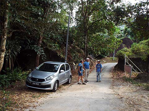
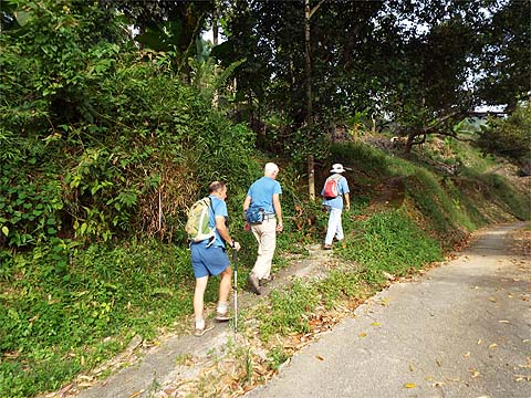
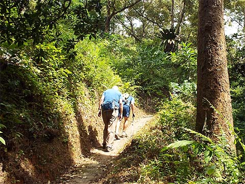
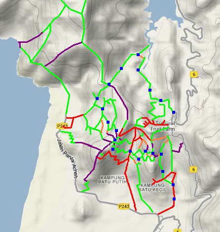
This is part of a series of pages on walking the hills of Penang. Click here for the index. This is a Grade 3 walk. There is a sketch map at the bottom showing the route followed. Please visit my Penang buses page for information on accessing the starting point. Recently I described a three hills walk starting and finishing in Sungai Pinang. Neil Hamilton had asked for an intensive tuition on the area to the 'south and west of the Teluk Bahang Dam' and this would deliver exactly that. Having the use of two cars, we left one at the 'Tropical Fruit Farm 400 metres' sign near the summit of the round-the-island road and one in the Millionaire's Valley in Sungai Pinang. We walked up the road in the latter and took the path off to the left which would lead us to the first hill.
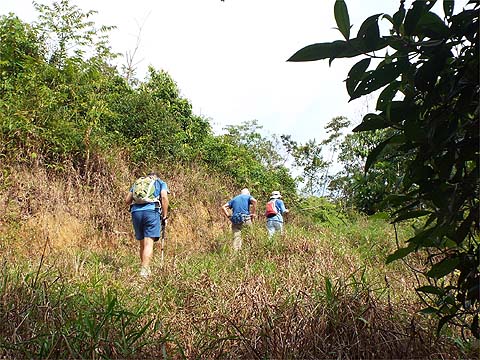
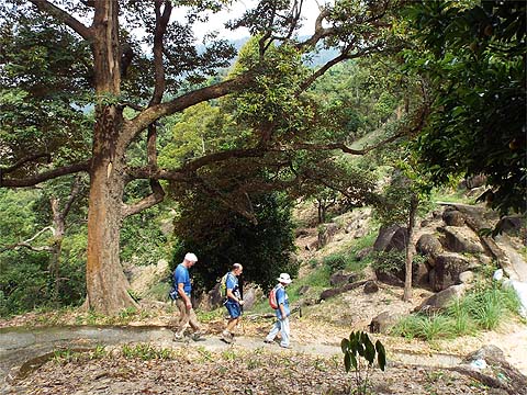
Very soon we crossed the road which had looped around and continued up, branching left where we could see the large boulder.
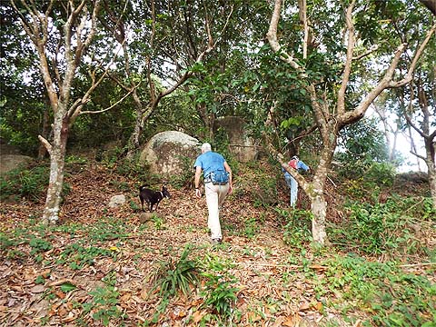
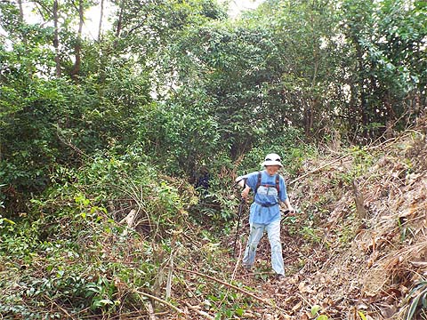
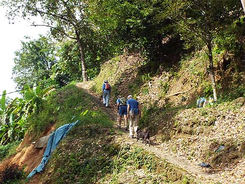
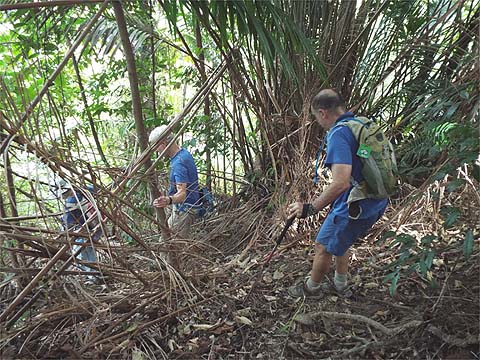
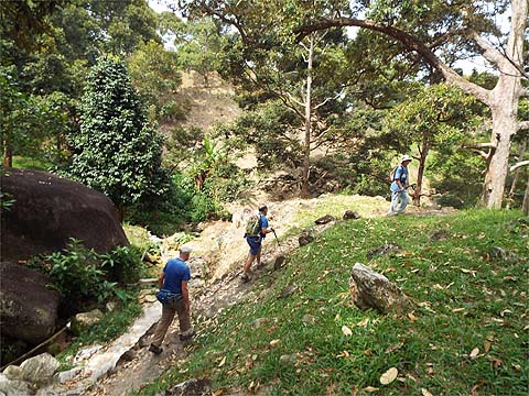
We were joined by a couple of dogs who decided that a 'jolly' was much more fun than barking at us. When we got to the top of the orchard, Yuehong grabbed a drink and Neil looked at the ferns ahead with some trepidation.
In fact you can skip round them to the left and, while there is no path as such, it's easy to climb up the old rubber terraces. There's no need to go to the top of the hill, from experience we know where to turn right and follow one of the terraces around - at that point, at least to us, the way upwards is much less clear.
While Yuehong was down to nearly all the guiding today, it had been my job to get us through the rubber and needless to say Yuehong had a good old grumble about my picking the one which was just above our usual one which meant an extra 2 metres of climbing and a less elegant exit into the orchard on the other side.
I showed Neil where we were going to next but he was totally disorientated on his first visit to the area and couldn't really take it in.
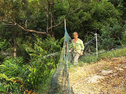
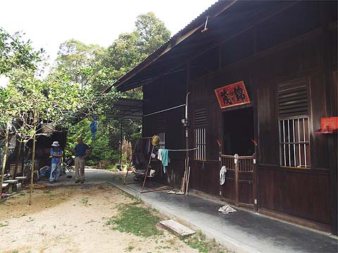
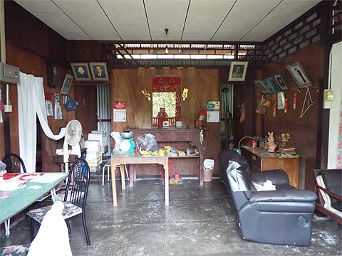
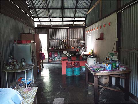
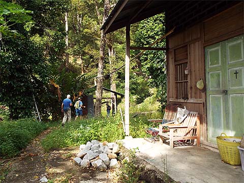
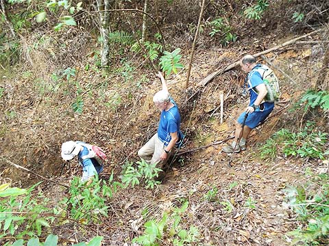
Since even the DAP has no plans to bridge the gap, we had to go all the way down into the valley and on the way as expected we bumped into one of our farmer friends. He's a very sprightly octogenarian and today he was watering one of his trees. Nearby is his traditional house, built by his grandfather, it's one of very few of this genre which is still lived in. They have running water and have had mains electricity for some 10 years but you wouldn't want to look too closely at the toilet. One day when Malaysia discovers true 'heritage' it should be moved to a 'folk museum' to show a traditional Hakka lifestyle.
One of the two dogs had already thrown in the towel but the black one carried on until we had crossed the valley road and started up our second hill, that was now way out of his domain.
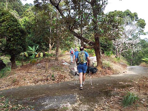
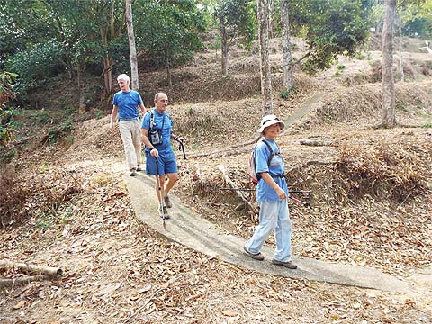
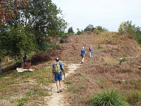
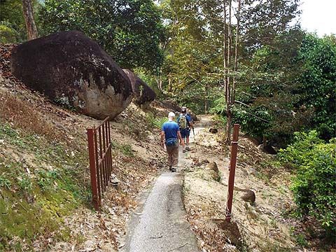
We were now on our three hills route and there are rather more pictures in that account. As before we went up the concrete path until we came to the link point to the parallel path.
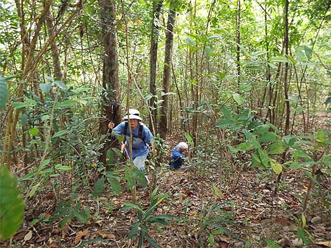
Yuehong shot through the 'hedge' and without a pause continued upwards much to our guests' amazement.
There was no way I was going to be allowed to lead across the ridge as I always end up choosing the longest grass. We transferred to the concrete path which runs on the Pantai Acheh side and Yuehong suddenly plunged off left and into the gap we had cut earlier.
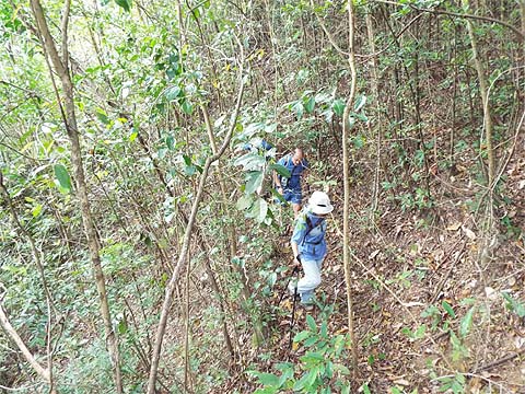
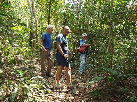
Mike had been up this way with us, but I am not quite sure what Neil made of it. In any case he was far too much of a gentleman to question the lady's judgement.
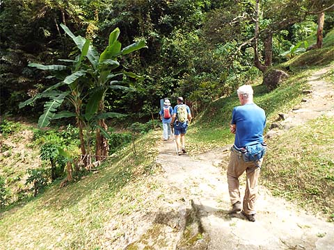
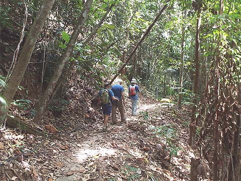
Yuehong led the way down the streambed and out into the orchard. Having held back to get the pictures, I found them well into a water stop by the time I emerged.
Neil had read about the 'English Garden' and so we turned left at the first junction, in any case I think it's a far more attractive descent than that we would get by going to the right.
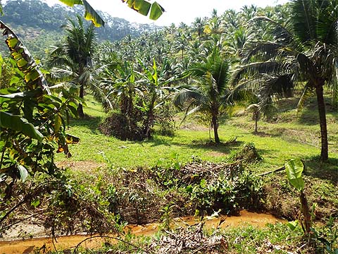
The top orchard uses herbicide which naturally makes it very brown, the lower orchard beyond this gate uses conventional methods to keep its grass in order. Yuehong cut right as soon as she could so we could go down to the rocky stream.
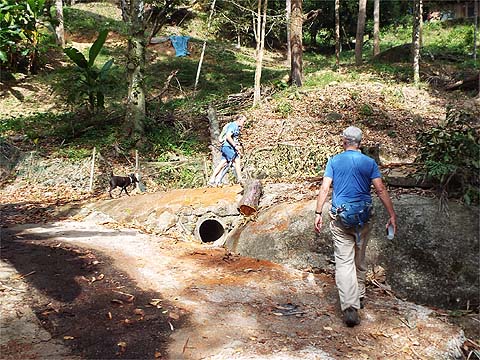
There's no path at all but it's not needed until after the stream.
As before the gate out was open in the off season, we joined the other route and at the bottom of the valley, we reversed direction.
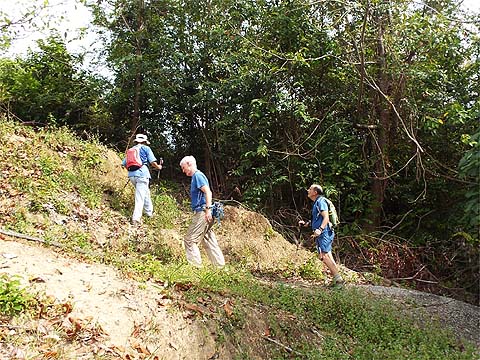
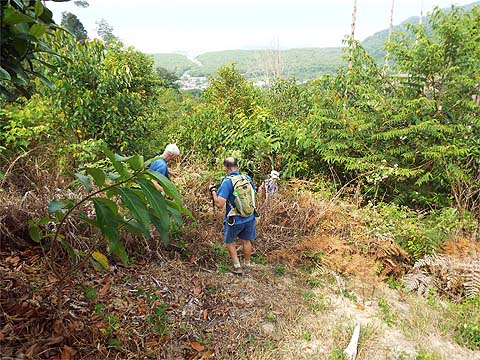
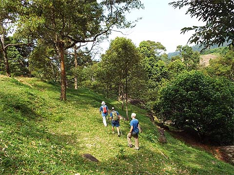
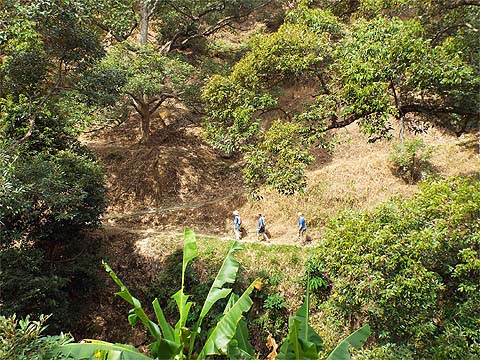
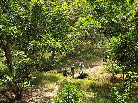
This would be our third hill and the dogs just looked on blankly as we went past. I think their body languages suggest that our guests were finding Yuehong's relentless pace rather wearing, she was about 50 metres ahead at this point.
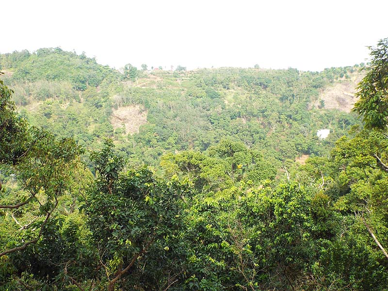
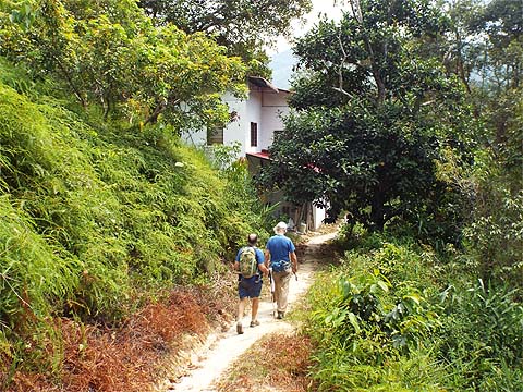
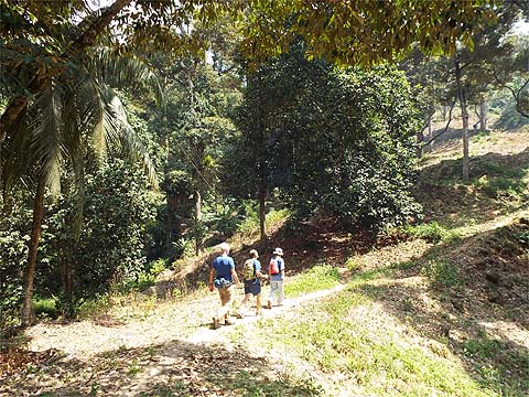
We had a break at the col and I think this revived them. The next part is a gentle downhill through the forest and past the new house.
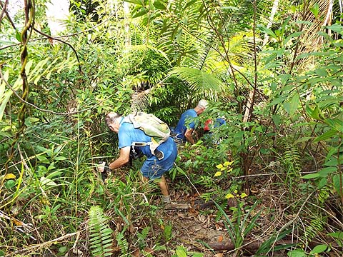
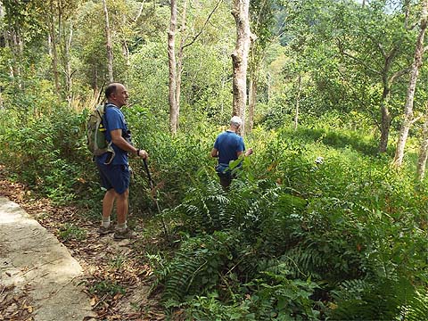
Yuehong vanished into the long grass, they took a deep breath and followed her down. I held back to get a pretty picture.
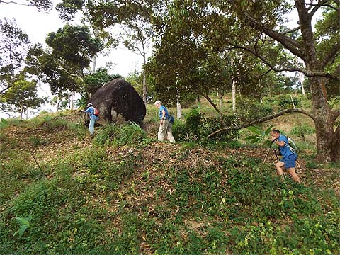
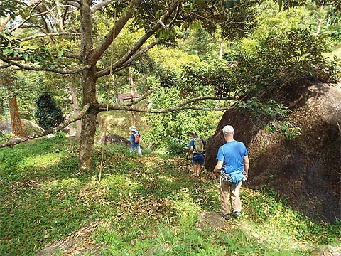
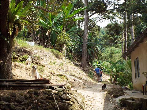
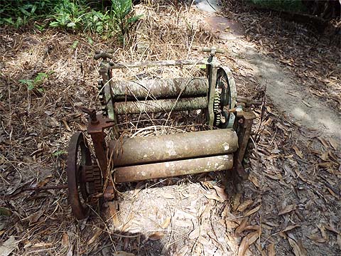
I am developing an obsession with these rubber rollers (presses) and stopped to check this pair. One had some writing which was hard to make out so I attacked it with my Swiss Army knife and took a couple of pictures to refer to later. On a further unreported visit I applied some WD 40 and found that the writing said 'Leong Chuan Singapore'. When I caught up with the others, Yuehong was showing them where our former route back to Sungai Pinang had been blocked by the new wild boar fence.
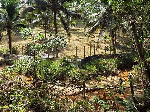
The fence is now nearly complete, but the good news is that the rest of this area is still accessible and it would be very easy to cross the stream and climb up to the col and on down to Sungai Pinang.
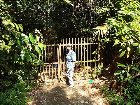
That was all for another day, Yuehong led our guests up the final climb and still had more than enough energy for one of her smiles as she posed next to the gates - they were locked but it's easy to go round the side and there's no barbed wire to attack trousers.
These hills are deceptive, the climbing amounts to over 600 metres and the 9km covered took nearly four hours. If that's not a problem to you then this is an outstanding hike.
|