|
Penang Hills and Trails - Pantai Acheh Ascent |
|||||||||||||||||||||||||
|
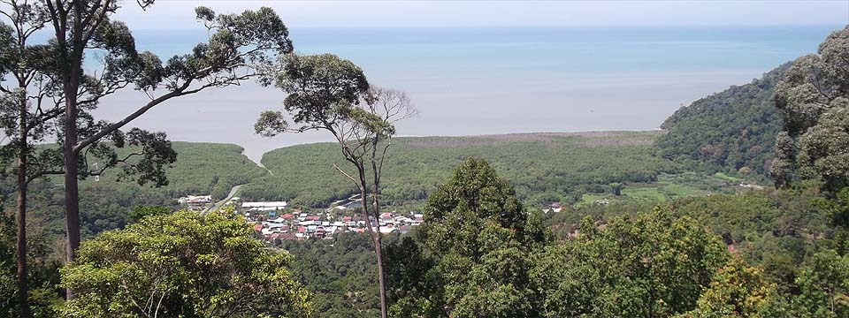
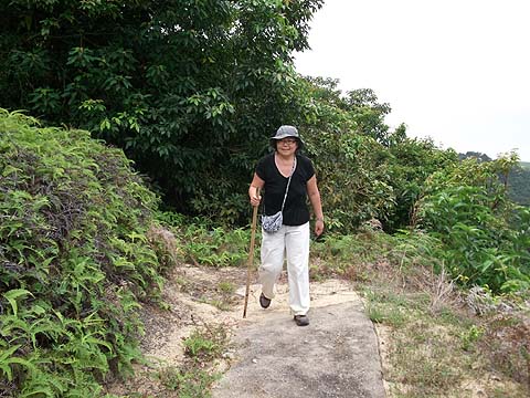
This is part of a series of pages on walking the hills of Penang. Click here for the index. This is a Grade 2 walk with a short challenging Grade 3 section. Click here for the route in reverse. There is a sketch map at the bottom showing the route followed. Please visit my Penang buses page for information on accessing the starting point. The 501 bus service for connecting with this ascent had been withdrawn by September 2022. This makes this hike impractical for anyone without the use of a car. This was written in February 2013 and we revisited in December 2016. Broadly, things were much as before except that the ferns were a significant obstruction. I have described elsewhere how we found a descent into Pantai Acheh from the round-the-island road at its summit between Sungai Pinang and Teluk Bahang. This is the view from the new house on the hill above Pantai Acheh. This page tells you how to make the climb.
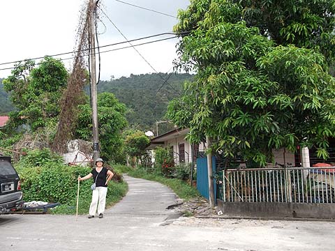
Pantai Acheh is reached by the 404 bus which leaves Balik Pulau at 06.00, 07.45, 09.45, 11.30, 13.30, 15.15 and 17.15, journey time is about half an hour. This is perhaps the most remote of the island's villages and is almost 100% Chinese. After you get off the bus, you can have a drink at the coffee shop near the Chin Hwa Chinese School, then walk back a short way before turning left. When the road splits, take the left side.
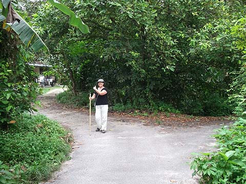
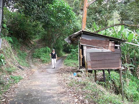
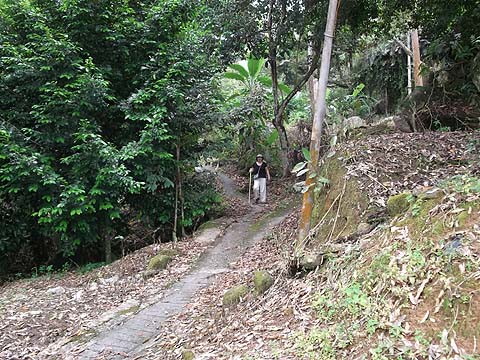
As the houses finish turn right into this distinctive Jalan Kampung and continue along the tarred road (ignore the path to the left) until it finishes at a concrete bridge where the continuing path bears right. At the next fork keep left although this is clearly the major path.
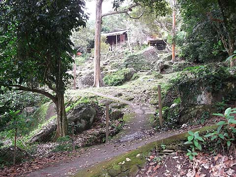
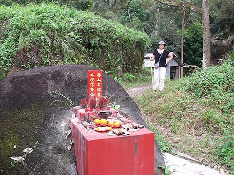
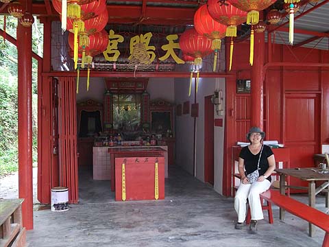
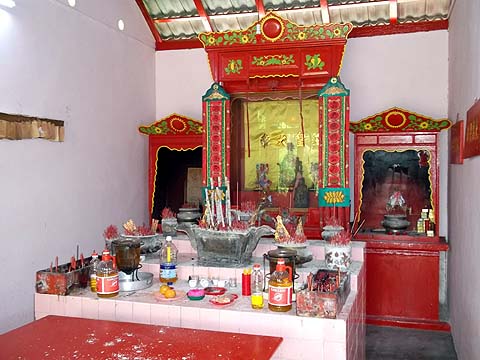
Continue up the path ignoring this turning to a house until you come to a delightful small Chinese temple on the left side which has recently been renovated:
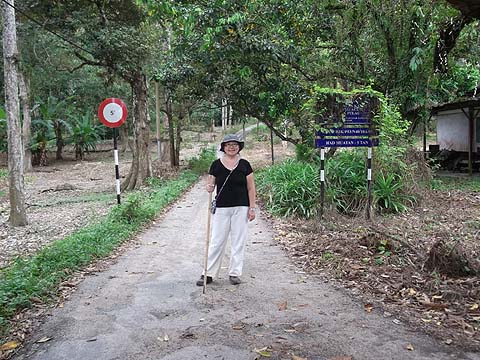
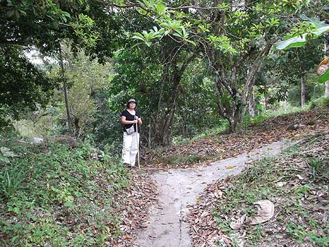
At the next two junctions turn left.
At the second one there was a mail box with MK 1, 305 written on it and an electricity meter above. This now opens out into one of the most attractive and well maintained durian orchards I have seen, instead of relying on herbicide, the grass is neatly trimmed, the place presumably being kept up by some guest workers who live in the house next to the path.
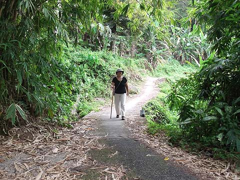
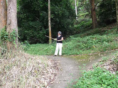
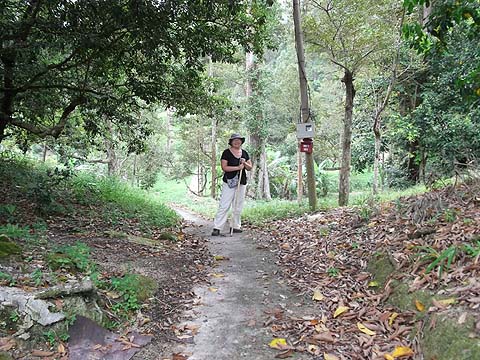
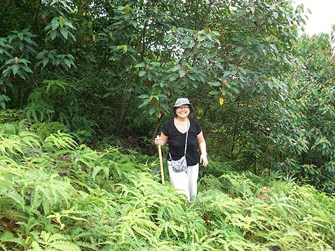
It's a very gentle climb by Penang standards and there is even a spot to take a rest where the path curves back on itself. Above you can just about make out the ridge and the strip of jungle at the top of the durian estate. I did check the path upwards till it finished but ahead lay almost vertical jungle... One branch went north just below the edge but it suddenly finished just before where the durians gave way to rubber. Instead, we recommend taking the minor path to the south which runs to the boundary where beyond is overgrown rubber.
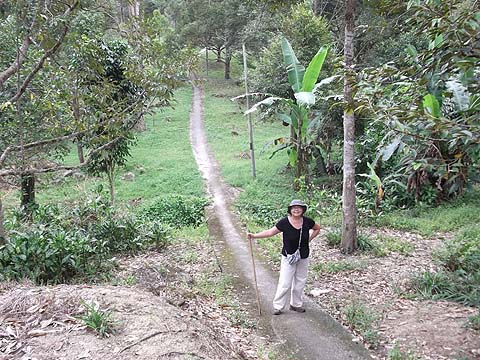
Where it finishes, go into the rubber and scramble up through the levels as best you can, at times some kind of trail will be visible and eventually (no more than 15 minutes) you will come out on the ridge just to the south of the new house.
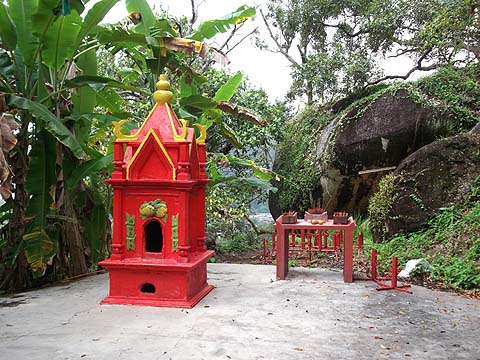
At this point turn left and very soon you will reach the house and the concrete access road. Follow it all the way down to reach Kampung Bukit Kecil near Sungai Pinang or turn left a short way down over the col by a small Chinese shrine. Continue down the path to the abandoned house, turn right and follow the broad trail to the summit of the round-the-island road between Sungai Pinang and Teluk Bahang. (The links are to the same page, the routes are each half of that page.)
|